 |
| Screen captures are from July 12, 2011. |
You can click on any event's icon to get more information about it. For instance, on this particular day, there was an icon in Michigan:
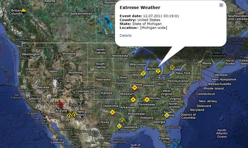
Clicking on the "Details" link at the bottom of the bubble that pops up leads you to more information about the selected disaster or emergency. This particular one was concerning the storms that had been taking place.
It's an interesting and very visual way to keep up with what's going on in the world.
No comments:
Post a Comment